Our Work

Our work encompasses the unique intersection of cultural resource management, scholarly research, services for hire, education and community engagement.
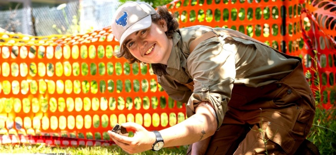
As an active member of a major public research university, UB Archaeological Survey makes substantial research contributions to academic knowledge. To engage the public in our work, our projects have community outreach and education components, including opportunities for public involvement and participation.
Our faculty members and students attend and present their work at academic conferences and symposia, and are published in leading academic journals. We engage the public through informal presentations at schools, museums and libraries and experiential learning opportunities.
In addition to field-based research, the UB Archaeological Survey has extensive laboratory and museum space. We are an accessible resource for research and encourage interaction with our extensive site-related collections, displays and teaching materials.
Historically, much of our work was performed as part of a statewide Highway Archaeology Program administered by the State University of New York at Binghamton.
We were responsible for most of the New York State Department of Transportation (NYSDOT) and federal highway archaeology and architectural assessments that occurred in our region. More recently our efforts have been focused on local and regional non-DOT work.
Some of our work is performed as part of a statewide CRM program administered by the Office of Parks Recreation and Historic Preservation/State Historic Preservation Office (SHPO). Many projects are also reviewed by Tribal Historic Preservation Offices administered by indigenious nations recognized by New York State.
Below are CRM services offered to companies and individuals. We also receive grants and contracts from private, county and other state entities to perform reconnaissance surveys, site examinations and large scale excavations.
Phase 1A projects represent background research, including historical documentary research, historical map analysis, and UB and State Historic Preservation Office site file research. Most Phase 1A surveys aim to establish the presence of known or likely archaeological sites and historic resources over 50 years of age within a given project impact area. Another goal is developing historic and prehistoric contexts as a preliminary step before Phase 1B fieldwork. Most Phase 1A and Phase 1B projects are done together as a single endeavor.
Phase 1B archaeological surveys typically involve reconnaissance-level fieldwork to determine whether archaeological sites or other cultural resources exist in a given project area.
Phase 1B architectural surveys typically involve reconnaissance-level fieldwork to determine whether buildings, structures, monuments and other elements of the built environment in a project area are potentially significant cultural resources eligible for the National Register of Historic Places.
The goal of Phase 2 Site Examination is to determine whether archaeological sites and other cultural resources are eligible for the National Register of Historic Places and, thereby, worthy of avoidance or subsequent data recovery in a development context.
The goal of Phase 3 Data Recovery is to collect significant data from National Register-eligible archaeological sites and other cultural resources that cannot be avoided and will, therefore, be impacted by a proposed development.
The Historic American Buildings Survey/Historic American Engineering Record (HABS/HAER) is a division of the National Park Service responsible for documenting the historic buildings, sites, structures, and objects of this country by producing measured drawings, large format photographs, and written histories. The Library of Congress Prints and Photographs Division is the repository for these documents. The American Institute of Architects, the American Society of Civil Engineers, and the other founding engineering societies provide technical guidance. The National Park Service regional offices in Philadelphia, Atlanta, Denver, San Francisco, and Anchorage administer the mitigation documentation program. The Survey has performed several such projects in western New York, typically for bridges and other structures spanning historic waterways and scenic byways, including the Erie Barge Canal and US Route 219.
Are you in need of UB Archaeological Survey services?
Does your property have historical artifacts or historical significance? Does your project require work with the US Army Corps of Engineers and the New York State Department of Environmental Conservation (DEC)? Are you seeking Historical Tax Credits for a commercial project? For these projects and more, contact: Doug Perrelli at perrelli@buffalo.edu or call our office 716.645.2297.
We have completed hundreds of projects over the past 30+ years. Below are some of our recent and current projects, all of which have academic research, public outreach and educational components, including opportunities for community engagement.


